How do I use AllTrails to location scout for your elopement? So glad you asked!
If you live in a state that offers countless beautiful trails, overlooks, pullovers, etc. you need to use AllTrails. AllTrails is a free (there is a paid version) app + website where you can look up specific trails or look for trails in general areas. This is an incredible resource for anyone looking to stay on the beaten path (we don’t go off the trail here, that’s dangerous for you and is harmful to the surrounding ecosystem).
You can see photos that other hikers have uploaded, see the distance of the hike, what type of hike it is (loop, out and back), see the estimated time it would take to complete the hike, see elevation gain, and of course, they provide the coordinates for the trailhead! AllTrails even offers a short description of the hike, the current weather at the location, and (sometimes) the current conditions. You can even track your progress while on the trail and if you won’t have service, you can download the trail beforehand.
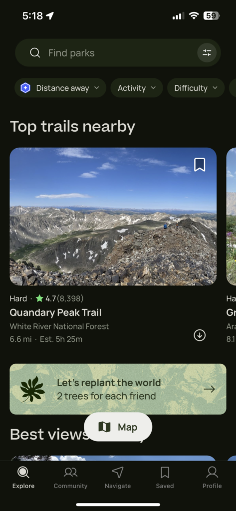
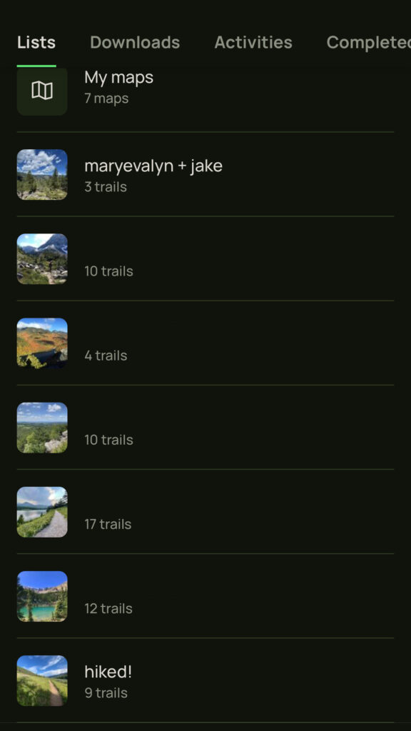
You can easily search for trails and save the ones you like to different folders.
For Maryevalyn + Jake’s elopement, this is the trail we picked. This trail is within Boulder so you’ll have to acquire a permit…head to this blog post on how to do so!
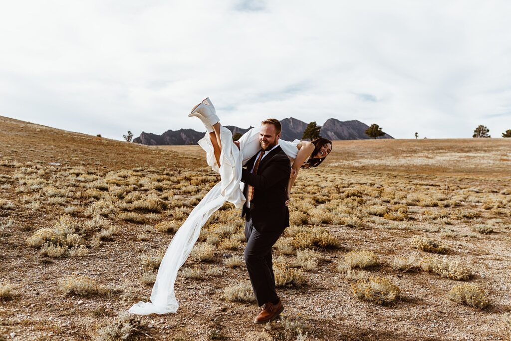
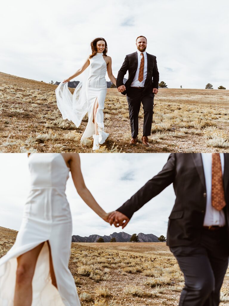
Here is what the overlook spot looked like last November 1st for Maryevalyn + Jake:
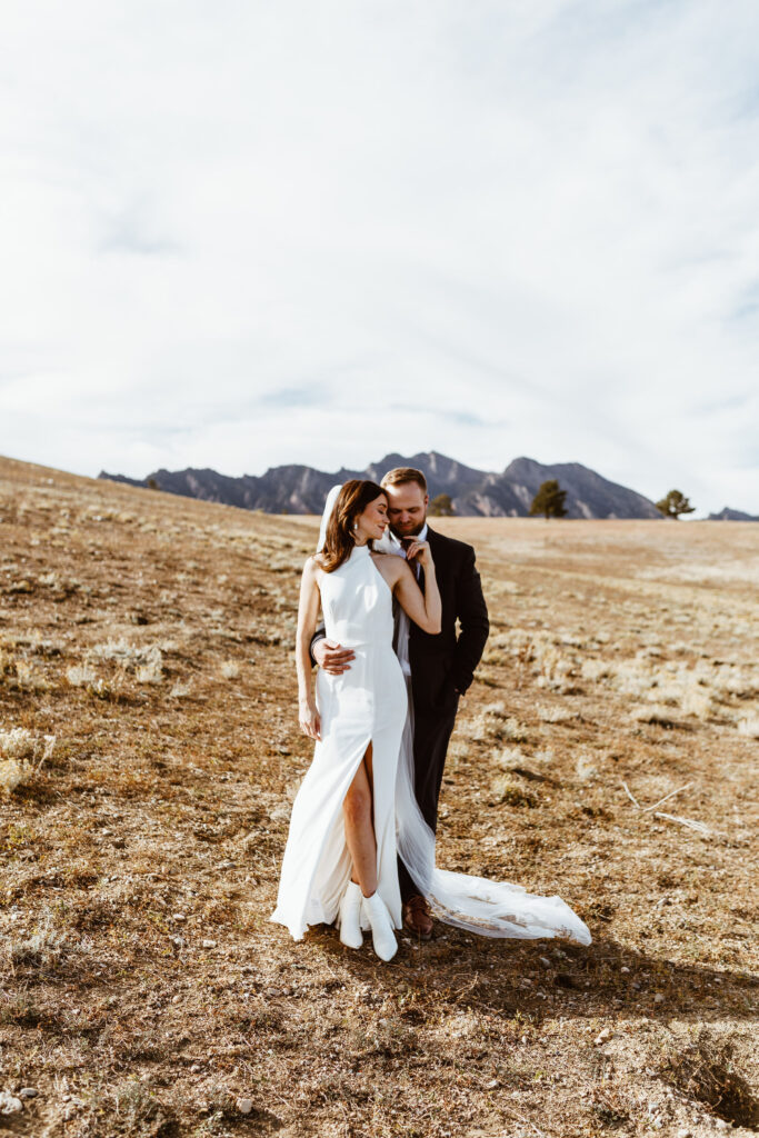
Love these photos? Click here to see M + J’s full blog post. Click here to inquire.
Add a comment
0 Comments